Monitoring Water Quality in the Gowanus Canal: A Superfun(d) Community Science Initiative
The Gowanus Dredgers Canoe Club operates on the Gowanus Canal, raising awareness of combined sewer overflow (CSO) issues that affect it and promoting waterfront stewardship more broadly. During the summer of 2023, members of the local community observed dramaticfishkills, but were unable to get an explanation from publicly available sources. This launched a community science initiative to capture and share timely water quality data. As development in the neighborhood, infrastructure improvements, and climate change shape the future of this waterway, this type of data is more important than ever for explaining observations and predicting canal conditions.
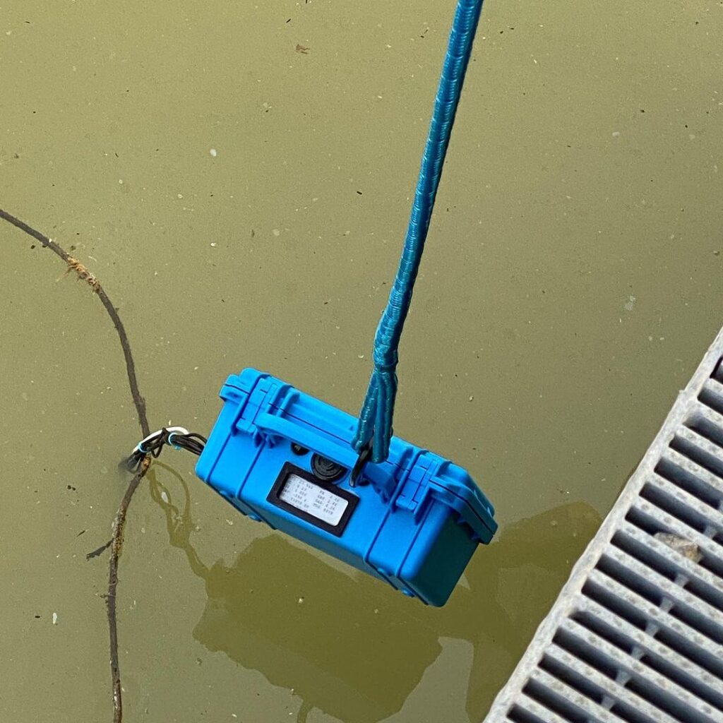
Running a water test with the Duro unit
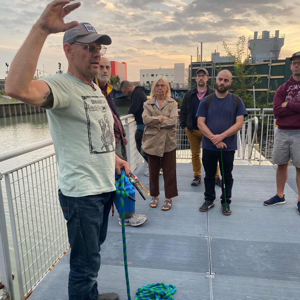
Gary explains water testing details
BACKGROUND
The Gowanus Canal is a waterbody in Brooklyn, NY which empties into New York Harbor. Once a natural waterway, the canal was completed in the 1800’s and became a hub of industrial activity as Brooklyn developed. Industry left its mark in the form of coal tar and other pollutants lining the bottom of the canal, while the combined sewer system continues to carry untreated sewage into the water. In 2010, the EPA designated the Canal a federal Superfund site. Dredging began in the upper portion of the Canal in 2021.
The Gowanus Dredgers Canoe Club is a volunteer organization dedicated to providing waterfront access and education to the public. In operation since 1999, the club offers events to introduce people to the history and current conditions of the Canal.
On July 15-16, 2023, The Dredgers held an open paddling event as part of City of Water Day, a regional celebration of the waterfront. Visitors observed thousands of dead peanut bunker in the water and along the shore, and wanted to know what had caused this mass die- off. Readings from a Duro UAS Field Sonde showed dissolved oxygen levels of about 1.0 mg/L, a level considered hypoxic. This reading occurred in a context of hot temperatures, rainfall and likely combined sewer overflow event on July 14, and sediment associated with recent capping activity.
It proved difficult to obtain timely data collected by EPA, DEP (1), or the Gowanus Remediation Team (2). In response to public questions, The Dredgers began testing water quality.
METHODS AND MATERIALS
The Dredgers began regular (near-daily) water quality testing on September 18, 2023. During testing, a Duro UAS Field Sonde unit was lowered to the canal from access points on shore until the probes were fully submerged at a depth of approximately 1 foot for 3-8 minutes, sampling every 30 seconds. Testing took place at 4 points: the Ninth Street Bridge, the Fourth Street Turning Basin, the Second Street pocket park, and the Douglass Street end.
The Field Sonde Unit records and exports 17 data fields. Latitude and longitude values were used to confirm and label testing site locations. Exploratory data analysis and visualization focused on the recorded values for pH, dissolved oxygen (DO; mg/L), oxidation reduction potential (ORP; mV), salinity (SAL; ppt), and total dissolved solids (TDS; ppm). The Field Sonde unit was calibrated monthly according to the manufacturer’s instructions.
Additionally, daily rain accumulation as reported from a nearby weather station was incorporated in the dataset. (3)
Map of the testing sites in relation to sewershed regions (blue sections) and CSO outfalls (red dots). Combined sewer overflow events occur when rainwater overwhelms the sewer system, dumping raw sewage into the canal, and triggering short- and long-term processes that deplete dissolved oxygen. (5)
Dissolved oxygen over time at each site.
DATA EXPLORATION
1. It’s Surprisingly Bad in There!
Key water quality metrics were concerning. Dissolved oxygen, pH, and ORP values were often shockingly low. Dissolved oxygen was lower than 5mg/L, a level the EPA (4) considers stressful for fish, on 33 out of 38 days (87%) at the Douglass Street testing site. Values of pH were lower than 6.9 on 27 out of 38 days (71%), meaning the water was acidic.
2. …But Sites Differ
Levels of dissolved oxygen differed between the sites: at the Ninth Street Bridge, dissolved oxygen was below 5mg/L on 15 out of 35 days (40%), likely reflecting the effect of tidal exchange with the harbor.
3. Multiple Factors At Play
Data highlighted the resilience of the Canal, and the need for more data to track patterns. Although rainfall likely triggered CSO events in October, dissolved oxygen levels did not crash. Sustained winds in a favorable direction and seasonally high tides could help explain these effects.
Dissolved oxygen at Douglass Street during two time periods. Wind (arrows), rain (blue stripes), and tidal volume (not visualized) also affect conditions in the Canal.
DISCUSSION
This early summary inspires both concern, and targeted research questions. Dissolved oxygen values indicate organisms like fish face a stressful environment. However, the Canal is dynamic. The fish kill observed in July of 2023 indicates that thousands of fish were in those waters to begin with.
We observed that factors like the location and volume of CSO input to the Canal, rainfall volume, wind direction, tides, and interventions
to oxygenate the water have interrelated impacts. The Gowanus neighborhood and sewershed face ongoing changes ranging from development and climate change adding stress to the sewer system, to enhancements to the sewer system and implementations of nature-based solutions. It is important to have a baseline for water quality metrics so that these impacts can be monitored and responded to on a meaningful timescale.
CONCLUSIONS AND NEXT STEPS
The Gowanus Dredgers Canoe Club set out to fill the community’s need for information with small-scale but frequent data collection. As this initiative continues, we ask:
Can we predict the timecourse and impact of a given rain event on dissolved oxygen in the Canal?
Does this state of affairs comply with the Clean Water Act and Long Term Control Plan?
Could the Flushing Tunnel be activated without disturbing the EPA’s dredging work during targeted time periods?
How much impact do mobile, localized solutions like air bubbling curtains have on low dissolved oxygen levels? This dataset is largely a result of Gary Francis’ dedication to near- daily data collection. Continuous monitoring and public sharing of timely data would be an invaluable resource, but needs support from larger institutions.